Submitted on
Geographic Information System (GIS) Mapping Technology
Citizen "Planners" are gaining access to electronic resources.
GIS Software:
Commercial: www.ERSI.com - ArcMap, ArcGis, Explorer
Open Source: www.QGIS.org , GRASS
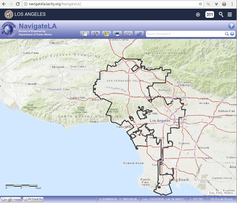
Online Viewers: LA City, LA County, many others with same data
Data Downloads and Viewers - GIS, KML, ShapeFiles, CSV, and more ...
Open Source: www.OpenStreetMap.org, Google Earth, Google My Maps, more ...
https://egis3.lacounty.gov/eGIS/category/gis-data/
http://maps.lacity.org/arcgis/rest/services/Mapping/NavigateLA/MapServer [2023/6/8 removed suffix of: /generateKml]
http://navigatela.lacity.org/NavigateLA/
Local SoCal GIS Meeting website and it's long list of government related download sites.
https://socalgis.org/resources/

LA City Resource File Sample Snapshots
School Campuses (LAUSD) KML

City Facilities

- 3937 reads

